Last updated: June 27, 2017
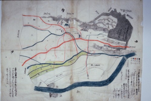
Illustrated map of Daimaru village (Ashikawa family document 96)
The Ashigawa family, located near the Daimaru intersection in the Daimaru district, has a collection of 152 ancient documents from the Edo period. The contents of the ancient documents include the land survey book, village details book, village map, documents related to Daimaru irrigation water, documents related to lawsuits, etc., and they show the state of Daimaru village in the Edo period and the people who lived there. It can be said to be a historical material that allows us to learn about the lives of farmers. The ancient documents were created over a period of 197 years, from 1673 to 1870, during which time they were preserved by the Ashigawa family, who served as village officials in Daimaru Village. Thing. Among the valuable early modern documents, we will introduce particularly important basic historical materials. (The Ashigawa family also preserves modern historical materials from the Meiji period onwards.)
Created in 1836, it depicts new fields, rivers, roads, mountains, forests, embankments, etc. in different colors. Also, the state of the riverbed of the Tama River, the flow of the Daimaru irrigation water, the location of the gutter built in the irrigation water, the state of the Kosatsuba in front of Enshoji Temple, the new Harachi new Rice fields (Harachishinden) etc. have been revealed.
A land survey created by the Shinden Kenchi carried out in 1746 by Haruhide Kano, the Shogunate's accounting magistrate. This is a book. In the land inspection book, each plot of land is listed as a famous place (location name) and ranked (Ueda, Nakata, Shimoda). The name of the land owner is the name of the land owner (cultivator or holder of cultivation rights), etc. This historical material shows that the mountains and forests that were traditionally the membership area (iriaiichi) were developed and divided into privately owned lands.
Daimaru irrigation water, which was created by drawing water from the Tama River in the Daimaru area, was used for agricultural purposes to water the rice fields of nine villages in the area, and was maintained and managed by a water usage association. This historical document is a historical document in which, in 1775, representatives of nine villages petitioned the water association to restore the water intake facilities after their water intake facilities were destroyed by flooding from the Tama River. This shows that the existence of Daimaru Canal Water was essential for agriculture at the time.
After the mid-Edo period, the number of small-scale farmers increased, and the number of people leaving their villages increased. Public safety in rural areas and cities deteriorated, and a position called ``Kantori Shimarishutsuyaku'' was established as an enforcement organization to deal with the situation. This historical document describes the specific methods of Kanto Tori Shimari Shutsuyaku's activities.
The group of five was an organization formed by five neighboring households to take collective responsibility for maintaining public order and collecting annual tax, and also had the function of mutual aid in village life. This historical document was created in 1869, and lists various prohibitions imposed by feudal lords, and requires farmers to swear to strictly abide by them.
Created in 1870, it is a historical document that provides an overview of Daimaru Village. It contains information such as tanbetsu, kokudaka, land survey, shrines and temples, water construction, number of houses, population, and extra work done on farms, giving us a sense of what the village was like at the time. I understand.
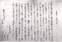
"Submit one bill" (document for water supply)
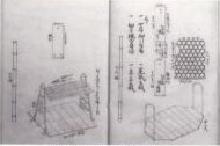
"Kanto-bound governor's attendance record"
"Daimarumura Haraji Shinden land survey book"
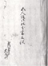
"Daimaru Village Goningumi Punishment Book"
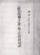
"Description book of Daimaru Village, Tama County, Musashi Province"
Inagi City Education Department Lifelong Learning Division Tel: 042-377-2121