Last updated: November 1, 2024
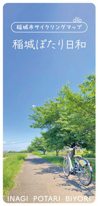
The cycling map "Inagi Potari Biyori" of Inagi City, which promotes "Bicycle Town Inagi", has been updated!
``Potari'' refers to pottering, and is associated with a ``carefree'' and ``relaxed'' bicycle activity. There are 4 courses in total. Enjoy the many charms of the city, including the Minami-Tama Ridge Main Road, which is a sacred place for cyclists, the Tama River cycling course, the countryside, and the city's cafes and sweets shops.

(1) Tamagawa Potari Course (approx. 10km 1 hour)
A course that goes along waterways such as the Tamagawa Cycling Course and Daimaru Canal, allowing you to feel the rich flow of water and scenery.
(2) City tour course (approx. 11 km, 1 hour)
A course where you can enjoy the cityscape
(3) Misawa River Sakura Corridor Course (approx. 8km 50 minutes)
A course where you can experience the rural landscape of Kamiyato and the changing seasons of the Misawa River.
(4) Tama Hills Course (approx. 15km, 1 hour 30 minutes)
A course that allows you to enjoy the moderate ups and downs of the Tama Hills, centered around the Minami-Tama Ridge Trunk Road, a sacred place for cyclists.

“Inagi Potari Weather” map QR code
Avenza Maps is an app that allows you to download free maps from around the world, allowing you to check detailed maps and your own location information. By using Avenza Maps, you can always carry this "Inagi Potari Weather" with you.
The map can be downloaded by scanning the QR code on the right or from the "Inagi Potari Weather" map (external link) .
Inagi City Industry, Culture and Sports Department Tourism Division Phone: 042-378-2111